Let’s put a couple of myths to bed right away. One, the Tibet-Nepal flood wasn’t caused by climate change. The glacier fell because the bedrock beneath it fell. Second, Chinese engineering projects did not make the rock cliff fall. But Beijing did something worse: it put a city in the flood path. And it’s in the process of doing it again. [some emphasis, links added]
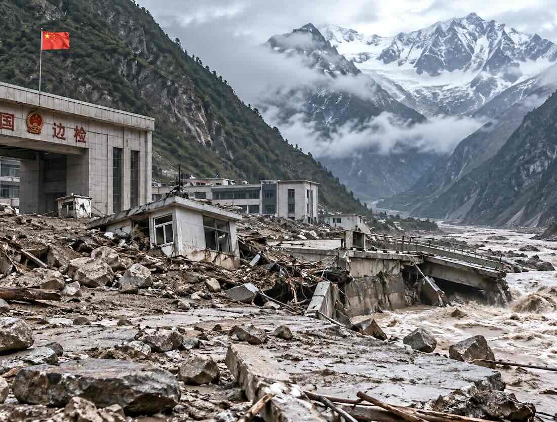
Last week, a wall of ice and rock split off from a part of the Himalayas called Langtang Lirung, dammed the river below for ten minutes, and then gave way to a 70 mph flow of boulders, ice, rock, water, and mud. The flood hit Nepal and the Chinese border settlement at Gyirong.
The usual climate grifters immediately proclaimed it the result of melting glaciers. News media obediently brayed that until you give up your gas stove and your SUV, similar disasters will usher in the end of days.
Unfortunately for “the narrative,” clear satellite photos showed within days that the rock under the glacier split from the cliff face, and the ice rode along.
The next question was whether China’s huge engineering projects triggered the collapse. They did not. The rock fell because of Himalayan geology.
The Rock Gave Way
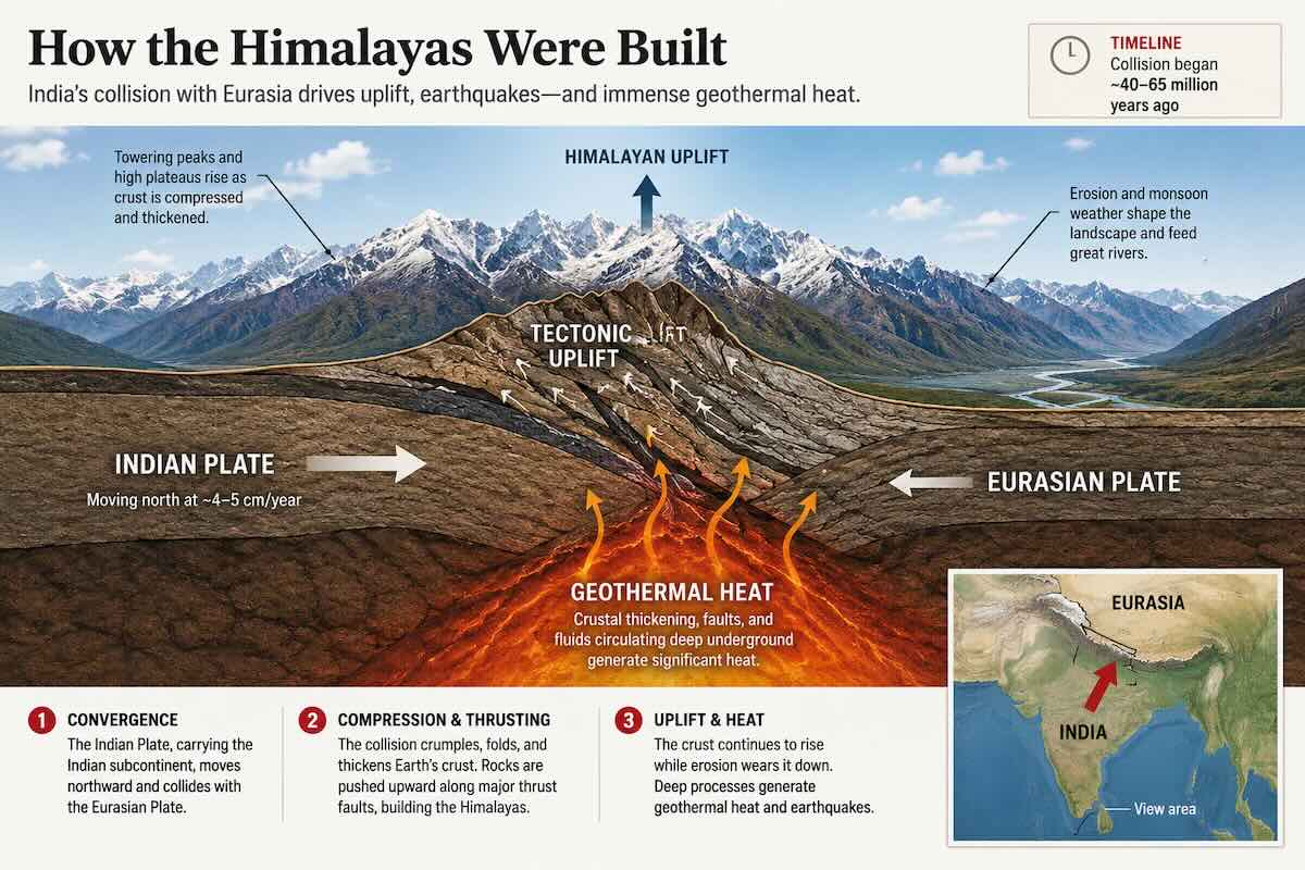
The Himalayas are on the edge of one of the most active tectonic plates worldwide.
The mountain bedrock is composed of bands of the Earth’s crust with built-in planes of weakness. Rockfalls happen constantly. Even large falls like this one happen several times a decade.
This was different because of the death toll.
The Death Toll Was a Policy Choice
We saw dramatic footage of an imposing structure being washed away by the rushing waters. That was the border post of Gyirong and its customs and immigration control facilities.
It was built by the Chinese Communist Party (CCP) on the border between Tibet and Nepal to make a political point. This was the CCP’s way of marking territory and establishing Chinese claims to Tibet.
The trouble was that the roads, buildings, and settlements were built in the floodplain. This is typical of Communist disregard for human life.
The CCP claims the port was for commerce, a way to connect far-flung parts of China. But once the rock face fell into the river valley, the rock-and-ice dam it formed lasted only six minutes.
Then that dam broke, and the gorge delivered the flood to the only flat ground—the ground Beijing paved.
Beijing is responsible for the death toll because CCP officials put people, buses, and a showpiece gateway where a Himalayan gorge sends its surplus rock.
Now Look at Medog
The real lesson applies to the next gorge.
About 150 miles away, in a bigger, steeper, longer canyon, China is building a cascade of five hydroelectric stations on the Yarlung Tsangpo River at Medog. This is the largest hydropower project in world history.
The rock of the surrounding gorges is the same as at Langtang. Cliff faces there fail on the same schedule. Landslides and debris flows are constant and inevitable.
A project of that size will require years of camps, roads, tunnels, worker housing, and concrete. The five dams will be designed for floods and earthquakes.
Supporting infrastructure, however, cannot be designed for a mountain that moves several miles in six minutes.
Top: Nepal flood aftermath highlights China’s risky development in Himalayan floodplains. AI image.
Read rest at American Greatness