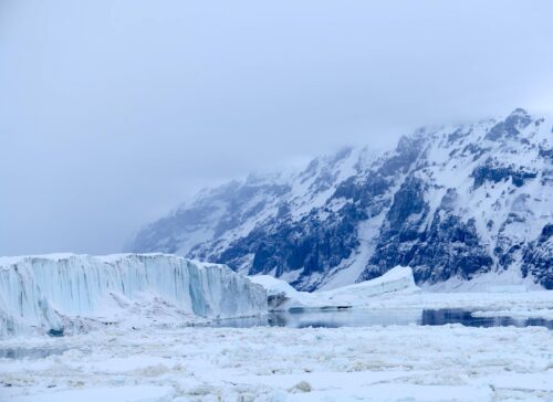
 Scientists at the National Snow and Ice Data Center announced Wednesday that the Arctic ice sheet extends 25 percent further than it did last summer, with 1.82 million square miles of ice at its annual low.
Arctic ice coverage reaches its lowest extent in mid- to late-September following the melting season.
This year’s post-melting season ice sheet is 40 percent larger than the record low, which was set in 2012.
Scientists maintain that the northerly polar ice cap continues on a downward melting trend. Upon news of the greater ice coverage, scientists noted that weather patterns fluctuate and pointed to a zone of colder-than-usual air pressure over the Beaufort Sea.
“The extent is higher than in recent years, but that is not telling the full story,” explained Mark Serreze, executive director of the National Snow and Ice Data Center. He added that this year is a “reprieve” and that “the weather is so variable.”
Scientists have tracked ice coverage in the Arctic since 1979. The past 15 years have shown a lower extent of Arctic ice coverage compared to the previous 27 years.
The decreasing trend in the north pole’s ice cap has been one of the biggest headline generators in climate change news coverage.
On the same day last year, that the New York Times reported the annual low range of the Arctic ice cap in the print edition, the top story in the print edition read: “A Climate Crossroads With 2 Paths: Merely Bad or Truly Horrific.”
Every year in March and September, the Arctic ice’s annual highs and lows generate grave warnings and calls to action across media outlets (sometimes accompanied by pictures of sad polar bears on precarious floating ice).
The March 2017 news of the Arctic ice sheet’s greatest extent garnered this headline in the Washington Post: “The Arctic just set a grim new record for low levels of sea ice.”
In March of 2018, MSNBC published an article on the semi-annual update titled: “How vanishing Arctic ice may set stage for extreme Nor’easters.”
For 2020’s second update, Vox published this headline: “Why the record low Arctic sea ice this October is so alarming.”
The Antarctic ice sheet does not generate the same headlines. Notably, the Antarctic ice sheet does not have a shrinking trend, according to the Intergovernmental Panel on Climate Change’s 2021 report.
NASA published a study in 2015 that showed that the Antarctic ice sheet had gained billions of tons of ice each year for decades. That included a net gain of 82 billion tons of ice per year between 2003 and 2008.
The NASA study contradicted the Intergovernmental Panel on Climate Change’s 2013 report, which stated: “Over the last two decades, the Greenland and Antarctic ice sheets have been losing mass, glaciers have continued to shrink almost worldwide, and Arctic sea ice and Northern Hemisphere spring snow cover have continued to decrease in extent (high confidence).”
Following the NASA study and further research, the Intergovernmental Panel on Climate Change reversed its position on Antarctic ice coverage.
The Antarctic ice sheet is much larger than the Arctic ice sheet. According to the National Snow and Ice Data Center, the Antarctic ice sheet is roughly the size of the contiguous United States and Mexico combined (5.4 million square miles) while the Arctic ice sheet is three times the size of Texas (656,000 square miles).
While the Antarctic Ice Sheet’s greater size means it is more impactful on the climate, the media focus has remained on the downward-trending Arctic.
Though the National Snow and Ice Data Center, which is often the source for the media buzz over the shrinking Arctic, bills itself as a center on polar research and as “advancing knowledge of Earth’s frozen regions,” its website emphasizes one pole over the other.
“Arctic Sea Ice News & Analysis” features prominently on the site, while there is no equivalent page for the Antarctic. The page “Greenland Ice Sheet Today” also features prominently. The organization’s “NSIDC in the News” page links to many more stories on the Arctic than the Antarctic.
In July 2021, Antarctic sea ice covered 6.32 million square miles, which was 160,000 square miles above average in the 43-year record of the ice sheet, according to the National Oceanic and Atmospheric Administration.
This year’s news that Arctic sea ice coverage is up over last year garnered fewer headlines than last year’s news that ice coverage had decreased year-over-year.
In September 2020, Reuters reacted to the ice coverage decrease with this headline: “Sea of Slush: Arctic sea ice lows mark a new polar climate regime.” The news organization has yet to publish news of this year’s larger ice sheet.
h/t Steve B.
Read more at The American Spectator


Tom, thanks for posting my hat tip. Amazing how the Left-wing media will totally ignore that which doesn’t support their climate crisis narrative.
The M.S. Media have become notorious for ignoring the truth and only showin the fake news they want you to see and hear