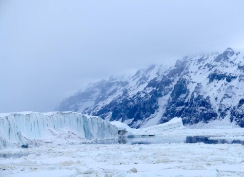
Arctic Ice Extents have more than doubled since the Sept. minimum and are now up to 10.4M km2. The last 30% of maximum will take until March, principally because several basins are frozen over and cannot add coverage. To date, Beaufort and CAA (Canadian Archipelago) are full, as are Laptev and East Siberian on the Russian side. Kara is 88% covered and the Central Arctic will add only 2% from here.
In the last nine days of November, we can see Chukchi at the top adding ice up to 50% of maximum with Beaufort and East Siberian already frozen. On the left, Baffin and especially Hudson bay are now growing more strongly. On the right is Kara filling in with Barents freezing more slowly.
The graph compares extents over the first 25 days of November.
2017 has reached 10.4M km2, 2007 and 2012 nearly the same, and all are close to the 10 year average of 10.6M km2. 2016 is about 1M km2 behind. At this point, MASIE and SII are both tracking the 10-year average, with SII about 200k km2 lower.

The Table below shows where ice is located on day 329 in regions of the Arctic ocean. The 10-year average comes from 2007 through 2016 inclusive.
The deficits on average are primarily in Chukchi and Greenland Seas. Surpluses are large in Hudson and Baffin Bays, along with the Kara Sea. Compared to last year, Kara, Barents, and Hudson Bay all have much greater ice extents.
Footnote
Some people unhappy with the higher amounts of ice extent shown by MASIE continue to claim that Sea Ice Index is the only dataset that can be used. This is false in fact and in logic.
Why should anyone accept that the highest quality picture of ice day to day has no shelf life, that one year’s charts cannot be compared with another year?
Researchers do this analysis, including Walt Meier in charge of Sea Ice Index. That said, I understand his interest in directing people to use his product rather than one he does not control. As I have said before:
MASIE is rigorous, reliable, serves as calibration for satellite products, and uses modern technologies to continue the long and honorable tradition of naval ice charting. More on this at my post Support MASIE Arctic Ice Dataset.
Read more at Science Matters


Can you be more clear. In the last decades there have been a significant reduction of the Artic ice, correct? What you are telling here only applies to this November, correct? Thank you.
WOW !
THERE you have it. 1 month of cold temps. in the Arctic has changed, like magic, all the melting that has taken place for decades and more decades !
National Snow & Ice Data Center:
” ← Previous Article
Freezing in the dark
November 2, 2017
Rapid expansion of the Arctic sea ice cover is the norm for October as solar input dwindles and the remaining heat in the upper ocean is released upwards, warming the lower atmosphere and escaping to space.
Because of late season growth, the seasonal Antarctic maximum we previously reported as occurring on September 15 was exceeded, with a new maximum set on October 11 and 12.
This is the second-lowest and second-latest seasonal maximum extent in the satellite record.
And according to Al Bore and the New York Slimes(All The Sludge that’s Fit to Print)the arctic was suppost to be Ice Free by now which gose to show you that liberals can never tell the truth and that includes the NYT’s