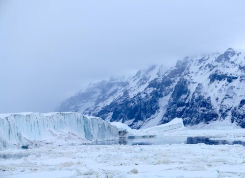
The coldest year on record in the Eastern Arctic was 1979. Since then, there has been a small decline in the area of the Arctic covered by sea ice.
Charctic Interactive Sea Ice Graph | Arctic Sea Ice News and Analysis
Data.GISS: GISS Surface Temperature Analysis
Arctic sea ice and temperature tracks the Atlantic Multidecadal Oscillation (AMO) which has a 70-year cycle and is currently at a peak. It is quite likely that Arctic sea ice extent will increase over the few decades, as the AMO starts downwards.
Climate experts forecast that the Arctic will become ice-free in the future because they aren’t actual scientists.
The Argus-Press – Google News Archive Search
Read more at Real Climate Science


The graph shows 1 year.
THAT dip you see is summer in the ARCTIC.
The National Snow & Ice Data Center, Jan. 2017, declared BOTH POLES registered HISTORIC Satellite RECORD LOW ICE LEVELS for all of 2016.
This is a 40 year observed decline by satellites launched in the 70’s.
There are WW2 & Cold War Photo Recon records that SHOW a far far more expansive ice sheet in the Arctic than was 1st satellite photos in the 70’s.
Today, of course, is significantly less ice than in the 70’s.
Rakooi Drewski please move far far up North and build the biggest ever snow fort.
The first graph shows one year, the other graphs show decades where 1940 and 2000 were the warmest years. If the build up of carbon dioxide is responsible for warming, why was 1940 so warm?
It is interesting that you mentioned the 1970’s. The peak in artic ice was in the mid 70’s. Alarmists use that as their base line so all other years are guaranteed to be lower.
ICE FREE WAS’NT THE ARCTIC SUPPOST TO BE ICE FREE BY NOW AT LEAST ACCORDING TO AL BORE AND THOSE IDIOTS FROM GREENPEACE EDF & NRDC
Antarctica, the desert continent, with an average temp. of 50 Below Zero!
300,000 square miles is nearly twice the area of California. It’s difficult to visualize a space that vast, but go ahead and give it a try. Now, imagine this California plus-sized chunk of land is covered in thousands of feet of ice.
Then, all of a sudden, that frozen fortress becomes a wading pool.
11/10/2017
In January 2016, over the course of just a few weeks, a 300,000 square mile chunk of the West Antarctic ice sheet started turning to slush & water, in one of the largest melt-outs ever recorded. Scientists with the ARM West Antarctic Radiation Experiment (AWARE),
COMPLETE with a Niagara Style WATERFALL off the ice sheet ONTO the salt sea….
AND a shower.
A RAIN shower…who ever heard of a rain shower on the desert continent?
You were there? Wow! All of the sudden 50 below zero wasn’t enough. Ever seen Niagara Falls freeze over? There’s lots of photographic evidence , and zero is all it takes.