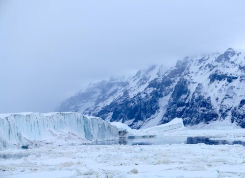
 The ice reached its extent for the year last month – and it was the first time it reduced in size for the past four years – but that is largely being blamed on the El Nino Pacific weather effect.
The years 2012 to 2014 were each record-breaking in terms of the scale of the ice since satellite measurements began 37 years ago.
A NASA spokesman said: “This year’s maximum extent is both the 22nd lowest and the 16th highest. More remarkably, this year’s maximum is quite a bit smaller than the previous three years, which correspond to the three highest maximum extents in the satellite era, and is also the lowest since 2008.”
The news comes after earlier this month NASA revealed that a new study of the Antarctic from space found more new ice has formed at the Antarctic than has been lost to its thinning glaciers over several years.
It has done little to reduce the confusion around the climate change debate, with NASA also confirming today the amount of carbon in our atmosphere has reached record post-industrial highs.
A NASA video shows the evolution of the sea ice cover of the Southern Ocean from its minimum yearly extent to its peak extent.
The growth of Antarctic sea ice was erratic this year.
Sea ice was at much higher than normal levels throughout much of the first half of 2015 until, in mid-July, it flattened out and even went below normal levels in mid-August.
The sea ice cover recovered partially in September, but still this year’s maximum extent is 513,00 square miles below the record maximum extent, which was set in 2014.
Scientists believe this year’s strong El Ni√±o event, a natural phenomenon that warms the surface waters of the eastern equatorial Pacific Ocean, had an impact on the behaviour of the sea ice cover around Antarctica.
El Niño causes higher sea level pressure, warmer air temperature and warmer sea surface temperature in the Amundsen, Bellingshausen and Weddell seas in west Antarctica that affect the sea ice distribution.


