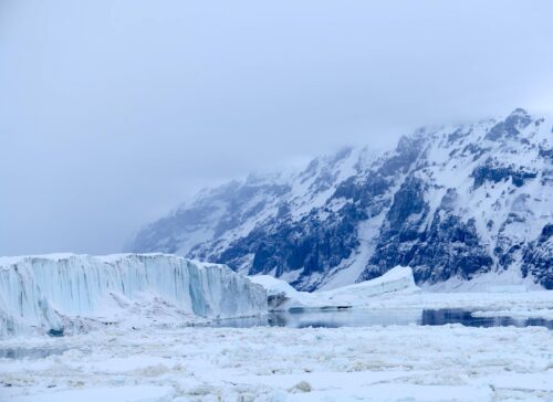
 A winter storm system could dump about a foot of snow over large swaths of the northeastern U.S. on Christmas Day, according to weather forecasts.
The incoming “bomb cyclone” is good news for those who love a White Christmas, but not good news for the millions of people set to travel for the holidays. Travelers across the region can expect slippery roads and reduced visibility.
Weather forecasts show a stretch of foot-deep snowfall across New England and upstate New York, according to Weather.us meteorologist Ryan Maue. Meanwhile, the Northeast storm could merge with a storm brewing over the Great Lakes region, meaning more wintery weather.
It’s beginning to look like a foot of White Christmas coming to New England! Christmas Day snow squalls pic.twitter.com/fnYsoVClys
— Ryan Maue | weather.us (@RyanMaue) December 21, 2017
Maue had been watching the storm’s movement for hours, cautioning that a storm’s forecasted trajectory can change, shifting the lines of rain and snow.
Looks like a rather snowy Christmas Day in New England? Huh? Rapidly intensifying storm or “bomb cyclone” setup in Gulf of Maine. Rain/snow line may shift 100s of miles in model forecasts so we watch … pic.twitter.com/QCYDX6GHmn
— Ryan Maue | weather.us (@RyanMaue) December 21, 2017
Northeasterners can expect precipitation to start falling late at night on Christmas Eve, and continue into Christmas Day.
Read more at Daily Caller


We’re jumping on weather forecasts?
Here’s hoping Leonardo DiCaprio and Al Bore get marooned together at Gores Private Airport when their Leer or Gulf Stream is grounded or John Travolta’s 707 skids off the runway