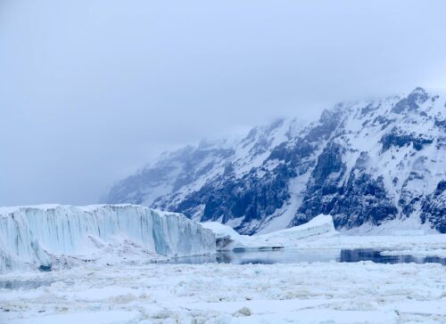
 Arctic sea ice extent for 2016 is up nearly 25 percent over 2012 levels as polar temperatures continue to drop. The information comes from satellite imagery provided by the Danish Meteorological Institute (DMI) and the National Snow and Ice Data Center (NSIDC), which has been tracking Arctic ice extent since satellite measurements began in 1979.
Mid-September is when Arctic ice is at its lowest and prior to 1979 #Climate Change experts have had to rely on ship reports, #News articles, and other less scientific means to approximate earlier sea ice coverage. The good news is that the polar ice is growing faster in September than at previous times, indicating a quick recovery for winter.
Ice melt in the Artic summertime is normal, but by how much has only been measured with any accuracy with the advent of satellites. Without melting ice, polar bears would starve to death. They eat the plump baby seals that pop up for air through ice holes in the thinning Arctic ice.
The NSIDC shows that 2016 is about the same as 2007 and better than 2012 through 2015 levels. Based on the most recent compiled data from last week, Arctic ice covered 2.5 million square miles (4.1 million square km) of sea water, up from its low of 1.3 million square miles in 2012.
In what is being touted as the Hottest year [2015] on record, Arctic ice has been growing rapidly to 1980s level http://t.co/PeeSepjdeb
— Rancid News (@RancidNews1) July 22, 2015


